
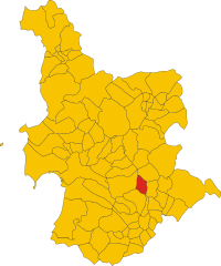
File:Map of comune of Mogorella (province of Oristano, region Sardinia, Italy) until 2016.svg

Size of this PNG preview of this SVG file: 500 × 600 pixels. Other resolutions: 200 × 240 pixels | 400 × 480 pixels | 640 × 768 pixels | 853 × 1,024 pixels | 1,707 × 2,048 pixels | 4,613 × 5,534 pixels.
Original file (SVG file, nominally 4,613 × 5,534 pixels, file size: 135 KB)
_until_2016.svg)
Summary
| Description | |
| Date | |
| Source | Own work |
| Author | Vonvikken |
W3C-validity not checked.
Licensing
| This work has been released into the public domain by its author, Vonvikken. This applies worldwide. In some countries this may not be legally possible; if so: |
File history
Click on a date/time to view the file as it appeared at that time.
| Date/Time | Thumbnail | Dimensions | User | Comment | |
|---|---|---|---|---|---|
| current | 12:33, 4 May 2011 | | 4,613 × 5,534 (135 KB) | File Upload Bot (Vonvikken) | == {{int:filedesc}} == {{Information |Description={{DescrMapComuneItaly|Mogorella|||OR}} |Source={{own}} |Author=Vonvikken |Date=2011-05-04 |Permission= }} {{Valid SVG}} == {{int:license}} == {{PD-user|Vonvikken}} |
File usage
The following page uses this file:
Global file usage
The following other wikis use this file:
_until_2016.svg)