
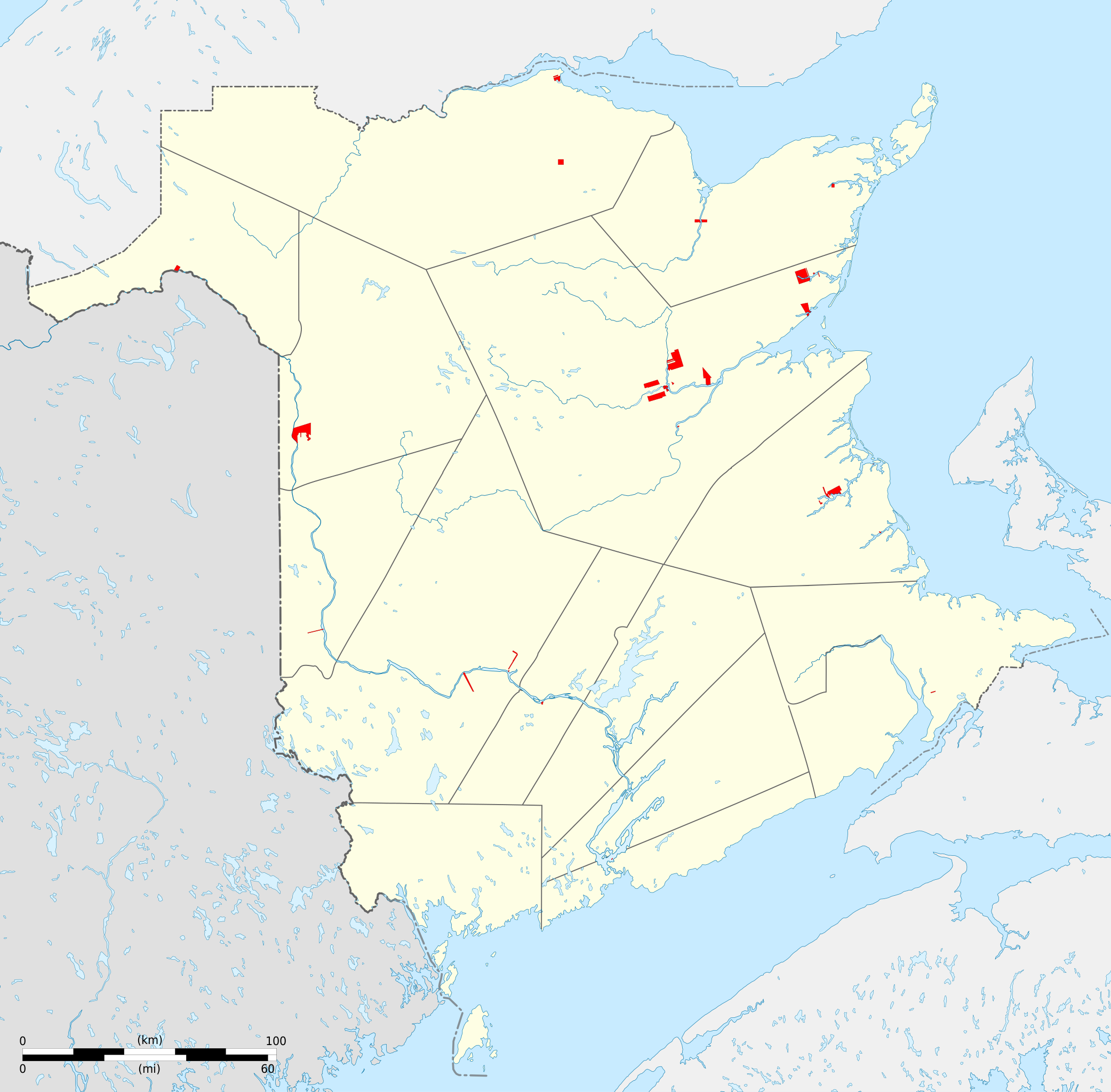
File:First Nations lands of New Brunswick map-blank.svg

Original file (SVG file, nominally 2,237 × 2,199 pixels, file size: 647 KB)
Summary
| Description |
English: Blank map of First Nations lands of New Brunswick, Canada. Each area can be selected and colored separately. It have an unique ID, easy to find (for example, Ctrl+F in Inkscape). See the area lists below. Equirectangular projection, WGS84 datum
Geographic limits of the map:
Français : Carte muette des terres des Premières Nations du Nouveau-Brunswick, Canada. Chaque zone peut être sélectionnée et colorée séparément. Elles ont toutes un identifiant unique, facile à trouver (par exemple, Ctrl+F dans Inkscape). Voir les listes des zones ci-dessous. Projection équirectangulaire, système géodétique WGS84.
Limites géographiques de la carte :
|
| Date | |
| Source |
Own work. English:
Français : |
| Author | Sémhur (talk) |
| Other versions | |
| Attribution (required by the license) | © Sémhur / Wikimedia Commons / |
| SVG | W3C-validity not checked. |
| Graphic Lab |
| Camera location | | View this and other nearby images on: OpenStreetMap |
|---|
Licensing
| Copyleft: This work of art is free; you can redistribute it and/or modify it according to terms of the Free Art License. You will find a specimen of this license on the Copyleft Attitude site as well as on other sites. |
- You are free:
- to share – to copy, distribute and transmit the work
- to remix – to adapt the work
- Under the following conditions:
- attribution – You must give appropriate credit, provide a link to the license, and indicate if changes were made. You may do so in any reasonable manner, but not in any way that suggests the licensor endorses you or your use.
- share alike – If you remix, transform, or build upon the material, you must distribute your contributions under the same or compatible license as the original.
List of First Nations Lands
p501606004__Richibucto_Indian_Reserve_No.15 p501606005__Buctouche_Indian_Reserve_No.16 p501606006__Burnt_Church_Indian_Reserve_No.14 p501606007__Pokemouche_Indian_Reserve_No.13 p501606008__Tabusintac_Indian_Reserve_No.9 p501606009__St._Basile_Indian_Reserve_No.10 p501606010__Big_Hole_Tract_Indian_Reserve_No.8_(south_half) p501606011__Eel_Ground_Indian_Reserve_No.2 p501606012__Renous_Indian_Reserve_No.12 p501606013__Eel_River_Indian_Reserve_No.3 p501606014__Fort_Folly_Indian_Reserve_No.1 p501606015__Indian_Island_Indian_Reserve_No.28 p501606016__Kingsclear_Indian_Reserve_No.6 p501606017__Oromocto_Indian_Reserve_No.26 p501606018__Pabineau_Indian_Reserve_No.11 p501606019__Big_Hole_Tract_Indian_Reserve_No.8_(north_half) p501606020__Indian_Point_Indian_Reserve_No.1 p501606021__Red_Bank_Indian_Reserve_No.4 p501606022__Red_Bank_Indian_Reserve_No.7 p501606023__Devon_Indian_Reserve_No.30 p501606024__St._Mary's_Indian_Reserve_No.24 p501606025__Tobique_Indian_Reserve_No.20 p501606026__Woodstock_Indian_Reserve_No.23 p501606027__The_Brothers_Indian_Reserve_No.18 p501606066__Indian_Ranch_Indian_Reserve p501606067__Moose_Meadows_Indian_Reserve_No.4
File history
Click on a date/time to view the file as it appeared at that time.
| Date/Time | Thumbnail | Dimensions | User | Comment | |
|---|---|---|---|---|---|
| current | 17:29, 21 May 2014 | | 2,237 × 2,199 (647 KB) | Sémhur | Valid SVG |
| 18:08, 12 October 2011 |  | 2,237 × 2,199 (647 KB) | Sémhur | better visibility of The Brothers (n°18) | |
| 19:45, 9 October 2011 |  | 2,237 × 2,199 (643 KB) | Sémhur | == {{int:filedesc}} == {{Information |Description={{Multilingual description |en=Blank map of First Nations lands of New Brunswick, Canada.<br> Each area can be selected and colored separately. It have an unique ID, easy to find (for |
File usage
The following page uses this file:
Global file usage
The following other wikis use this file:
- Usage on fr.wikipedia.org