
File:Cartedujapon.png
No higher resolution available.
Cartedujapon.png (480 × 513 pixels, file size: 240 KB, MIME type: image/png)

|
This locator map image could be re-created using vector graphics as an SVG file. This has several advantages; see Commons:Media for cleanup for more information. If an SVG form of this image is available, please upload it and afterwards replace this template with
{{vector version available|new image name}}.
It is recommended to name the SVG file “Cartedujapon.svg”—then the template Vector version available (or Vva) does not need the new image name parameter. |
Summary
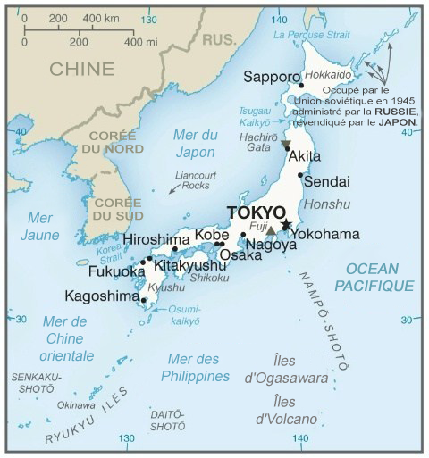
| Description | Map in French of Japan |
| Date | translation : March 2004 |
| Source | CIA World Factbook (via the French speaking Wikipedia) |
| Author | of the translation : fr:Rinaldum |
| Permission (Reusing this file) |
PD |
Français : * Sujet : Carte en français du Japon ;
- Source : CIA World Factbook (via la Wikipédia francophone) ;
- Auteur de la traduction : fr:Rinaldum ;
- Date : Mars 2004.
File history on the French speaking Wikipedia :
(suppr) (actu) 2 mars 2004 à 16:28 . . Rinaldum (Discuter | Contributions) . . 351×377 (79 421 octets) (carte du japon (en français))
Licensing
This image is in the public domain because it contains materials that originally came from the United States Central Intelligence Agency's World Factbook.
|
 |
File history
Click on a date/time to view the file as it appeared at that time.
| Date/Time | Thumbnail | Dimensions | User | Comment | |
|---|---|---|---|---|---|
| current | 06:17, 7 February 2020 | | 480 × 513 (240 KB) | Artanisen | Carte plus récente du Japon. Fabriqué par la CIA. Source: https://www.cia.gov/library/publications/the-world-factbook/geos/ja.html |
| 06:26, 22 July 2014 |  | 351 × 377 (93 KB) | Simba Hekima | a écrit le nom de la mer en détail | |
| 14:45, 29 September 2006 |  | 351 × 377 (78 KB) | Loveless | This image was copied from wikipedia:fr. The original description was: '''Titre:''' carte du japon (en français)<br /> '''Licence:''' {{DomainePublic}}<br /> '''Source:''' provenant du fr:CIA World Factbook fr:Catégorie:Cartes du Japon {| b |
File usage
There are no pages that use this file.
Global file usage
The following other wikis use this file:
- Usage on fr.wikipedia.org
- Japon
- Portail:Japon/temporaire
- Portail:Japon/Article de la semaine archive
- Utilisateur:Eden2004/Portail Japon base
- Utilisateur:Eden2004/Portail Japon
- Utilisateur:Eden2004/Portail Japon/Portail Japon Nature
- Utilisateur:Eden2004/Portail Japon/Portail Japon Histoire
- Utilisateur:Eden2004/Portail Japon/Portail Japon Arts
- Portail:Japon
- Utilisateur:Settychea/Livres/Le japon
- Utilisateur:Kohfuku/Brouillon
- Portail:Japon/Géographie
- Usage on gcr.wikipedia.org
- Usage on ht.wikipedia.org
- Usage on nrm.wikipedia.org
- Usage on so.wikipedia.org