
File:Australia Victoria Glenelg Shire location map.svg

Size of this PNG preview of this SVG file: 421 × 600 pixels. Other resolutions: 168 × 240 pixels | 337 × 480 pixels | 539 × 768 pixels | 719 × 1,024 pixels | 1,438 × 2,048 pixels | 533 × 759 pixels.
Original file (SVG file, nominally 533 × 759 pixels, file size: 506 KB)
| Description |
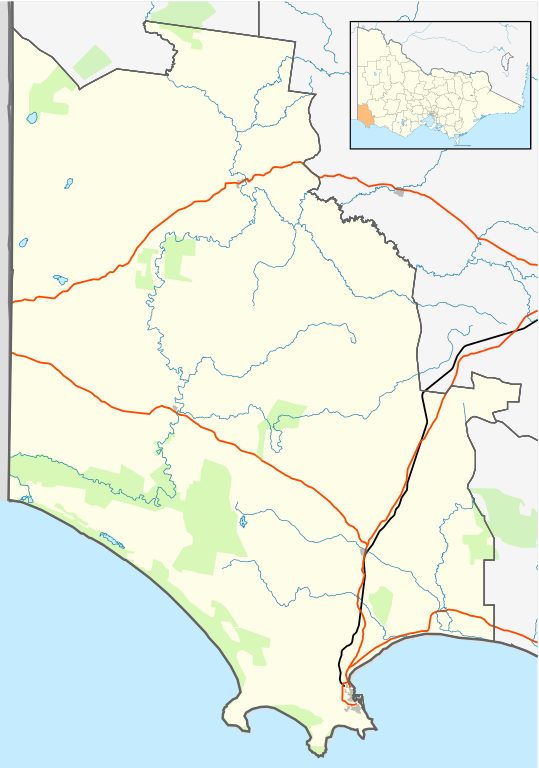
English: Blank map of w:Glenelg Shire, Victoria, Australia, with the following information shown:
Geographic limits:
|
||
| Source | Own work + VicMap Lite | ||
| Author | Cassowary |

| Annotations | This image is annotated: View the annotations at Commons |
File history
Click on a date/time to view the file as it appeared at that time.
| Date/Time | Thumbnail | Dimensions | User | Comment | |
|---|---|---|---|---|---|
| current | 14:42, 17 February 2011 | | 533 × 759 (506 KB) | Cassowary | {{Information |Description ={{en|1= Blank map of w:Glenelg Shire, Victoria, Australia, with the following information shown: * LGA boundaries * Coastline, lakes and rivers * Roads and railways * Urban areas * Parks Geographic limits: * North: 37.3 |
File usage
The following page uses this file:
Global file usage
The following other wikis use this file:
- Usage on ar.wikipedia.org
- Usage on ceb.wikipedia.org
- Usage on en.wikipedia.org
- Portland, Victoria
- Shire of Glenelg
- Heywood, Victoria
- Allestree, Victoria
- Nelson, Victoria
- Cape Bridgewater
- Casterton, Victoria
- Dartmoor, Victoria
- Merino, Victoria
- Template:Towns in Glenelg Shire
- Tyrendarra
- Henty, Victoria
- Narrawong
- Condah
- Digby, Victoria
- Sandford, Victoria
- Module:Location map/data/Australia Victoria Shire of Glenelg/doc
- Lawrence Rocks
- Tahara, Victoria
- Paschendale, Victoria
- Gorae West
- Heathmere
- Hotspur, Victoria
- Drumborg
- Module:Location map/data/Australia Victoria Shire of Glenelg
- Bahgallah
- Bolwarra, Victoria
- Breakaway Creek, Victoria
- Brimboal
- Carapook
- Cashmore, Victoria
- Chetwynd, Victoria
- User:Viatori/sandbox
- User:ThylacineHunter/LGA
- Usage on fa.wikipedia.org
- Usage on kn.wikipedia.org
- Usage on pnb.wikipedia.org
- Usage on si.wikipedia.org
- Usage on tr.wikipedia.org
- Usage on ur.wikipedia.org
- Usage on uz.wikipedia.org
- Usage on vi.wikipedia.org
- Usage on war.wikipedia.org