
File:Relief Map of Poland.png
Size of this preview: 617 × 600 pixels. Other resolutions: 247 × 240 pixels | 494 × 480 pixels | 1,000 × 972 pixels.
Original file (1,000 × 972 pixels, file size: 1.46 MB, MIME type: image/png)
Summary
| Description |
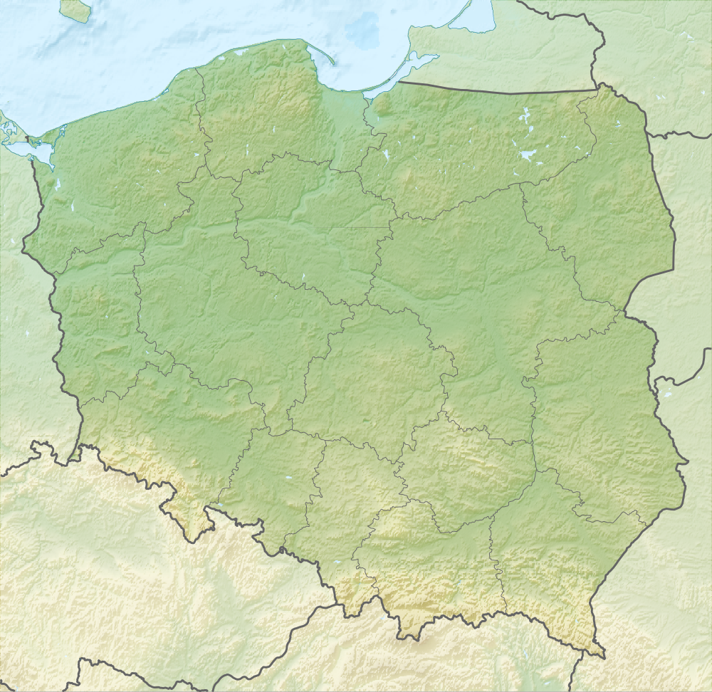
English: Relief map of Poland
Equirectangular projection, N/S stretching 160 %. Geographic limits of the map:
|
| Date | |
| Source |
|
| Author | derivative work Виктор_В |
| Other versions |
|


Licensing
This file is licensed under the Creative Commons Attribution-Share Alike 3.0 Unported license.
- You are free:
- to share – to copy, distribute and transmit the work
- to remix – to adapt the work
- Under the following conditions:
- attribution – You must give appropriate credit, provide a link to the license, and indicate if changes were made. You may do so in any reasonable manner, but not in any way that suggests the licensor endorses you or your use.
- share alike – If you remix, transform, or build upon the material, you must distribute your contributions under the same or compatible license as the original.
File history
Click on a date/time to view the file as it appeared at that time.
| Date/Time | Thumbnail | Dimensions | User | Comment | |
|---|---|---|---|---|---|
| current | 18:02, 28 August 2010 | | 1,000 × 972 (1.46 MB) | Виктор В | рельеф дна |
| 12:08, 28 August 2010 |  | 1,000 × 972 (1.43 MB) | Виктор В | == {{int:filedesc}} == {{Information |Description={{en|Relief map of Poland}} Equirectangular projection, N/S stretching 160 %. Geographic limits of the map: * N: 55.2° N * S: 48.7° N * W: 13.8° E * E: 24.5° E |Source=*[[:File:Poland lo |
File usage
The following 2 pages use this file:
Global file usage
The following other wikis use this file:
- Usage on ar.wikipedia.org
- Usage on as.wikipedia.org
- Usage on av.wikipedia.org
- Usage on be-tarask.wikipedia.org
- Usage on be.wikipedia.org
- Заходні Буг
- Нараў
- Шаблон:На карце/Польшча
- Вісла
- Чорная Ганча
- Марыха
- Вепш
- Бебжа
- Ганьча (возера)
- Шлямы
- Белавежскі нацыянальны парк
- Мамры
- Снярдвы
- Свентакшыскія горы
- Снежка
- Піліца
- Віслока
- Рысы
- Рэга
- Варта
- Тарніца
- Нотаць
- Палескі нацыянальны парк
- Дзіўна
- Волін (востраў)
- Вігерскі нацыянальны парк
- Вігры
- Свіна (Польшча)
- Сабяшэўскі востраў
- Блэндоўская пустыня
- Велка-Снежна пячора
- Марское Вока
- Лыса-Гура (Свентакшыскія горы)
- Ніда (рака)
- Язёрак
- Бебжанскі нацыянальны парк
- Востраў збожжасховішчаў
- Матлава
View more global usage of this file.