
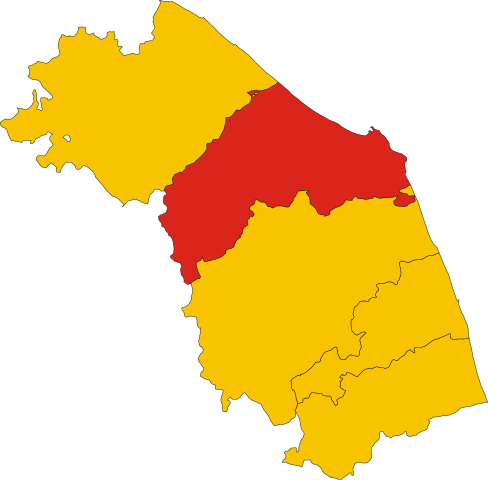
File:Map of province of Ancona (region Marche, Italy).svg

Size of this PNG preview of this SVG file: 609 × 600 pixels. Other resolutions: 244 × 240 pixels | 488 × 480 pixels | 780 × 768 pixels | 1,040 × 1,024 pixels | 2,080 × 2,048 pixels | 3,504 × 3,450 pixels.
Original file (SVG file, nominally 3,504 × 3,450 pixels, file size: 75 KB)
.svg)
Summary
This W3C-unspecified vector image was created with Inkscape .
W3C-validity not checked.
Licensing
| This work has been released into the public domain by its author, Vonvikken. This applies worldwide. In some countries this may not be legally possible; if so: |
File history
Click on a date/time to view the file as it appeared at that time.
| Date/Time | Thumbnail | Dimensions | User | Comment | |
|---|---|---|---|---|---|
| current | 23:41, 6 October 2022 | | 3,504 × 3,450 (75 KB) | Krepideia | Borders update: detachment of Municipalities of Montecopiolo and Sassofeltrio from region Marche (2021) |
| 00:14, 4 December 2010 |  | 3,504 × 3,450 (77 KB) | Vonvikken | == {{int:filedesc}} == {{Information |Description={{DescrMapProvinceItaly|AN}} |Source={{own}} |Author=Vonvikken |Date=2010-12-04 |Permission= |other_versions= }} {{Inkscape}} {{Valid SVG}} == {{int:license}} == {{PD-user|Vonvikken}} |
File usage
There are no pages that use this file.
Global file usage
The following other wikis use this file:
- Usage on br.wikipedia.org
- Usage on cy.wikipedia.org
- Usage on hu.wikipedia.org
- Usage on it.wikipedia.org
- Usage on pt.wikipedia.org
- Agugliano
- Ancona
- Arcevia
- Barbara (Itália)
- Belvedere Ostrense
- Camerano
- Camerata Picena
- Castel Colonna
- Castelbellino
- Castelfidardo
- Castelleone di Suasa
- Castelplanio
- Cerreto d'Esi
- Chiaravalle
- Corinaldo
- Cupramontana
- Fabriano
- Falconara Marittima
- Filottrano
- Genga
- Jesi
- Loreto
- Maiolati Spontini
- Mergo
- Monsano
- Monte Roberto
- Monte San Vito
- Montecarotto
- Montemarciano
- Monterado
- Morro d'Alba
- Numana
- Offagna
- Osimo
- Ostra (Itália)
- Ostra Vetere
- Poggio San Marcello
- Polverigi
- Ripe
- Rosora
- San Marcello
- San Paolo di Jesi
- Santa Maria Nuova
- Sassoferrato
- Senigália
- Serra San Quirico
View more global usage of this file.
.svg)
.svg)