
File:LocationAsia transparent.png

Size of this preview: 800 × 407 pixels. Other resolutions: 320 × 163 pixels | 640 × 326 pixels | 1,024 × 521 pixels | 1,280 × 651 pixels | 2,759 × 1,404 pixels.
Original file (2,759 × 1,404 pixels, file size: 43 KB, MIME type: image/png)
Summary
| Description |
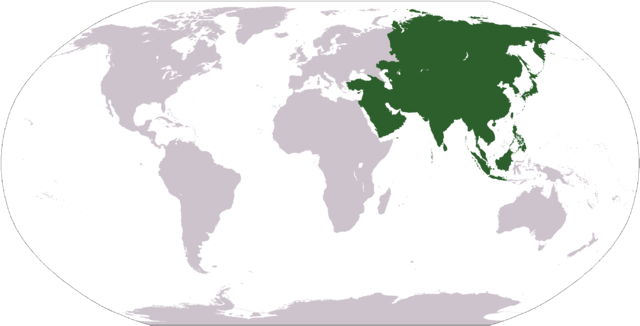
Deutsch: Weltkarte mit dem Versuch die Grenzen Asiens darzustellen; leider weicht sie in Russland/Kasachstan (Ural-Fluss und Ural-Gebirge), im Kausasus entspricht sie nicht der im deutschsprachigen Raum vorherrchenden Manytschniederungs-Grenze, sondern leider nur Grob dem Kaukasushauptkamm. Eine Abwandlung der Weltkarte des CIA World Fact Book.
Lëtzebuergesch: Asien op der Weltkaart
Polski: Mapa świata z zaznaczonym obszarem Azji; mapa uzyskana z mapy w fomracie PDF na CIA World Fact Book. |
| Date | (first upload to commons) |
| Source | Image:LocationAsia.png (previous: [1]) |
| Author | User:Nux (previous: User:Dado - first upload to commons) |
| Permission (Reusing this file) |
Public Domain |
| Other versions |
|
Other
- color depth: 256 Colors
- transparency: On
Licensing
| I, the copyright holder of this work, release this work into the public domain. This applies worldwide. In some countries this may not be legally possible; if so: I grant anyone the right to use this work for any purpose, without any conditions, unless such conditions are required by law. |
This image is in the public domain because it contains materials that originally came from the United States Central Intelligence Agency's World Factbook.
|
 |
| Annotations | This image is annotated: View the annotations at Commons |
File history
Click on a date/time to view the file as it appeared at that time.
| Date/Time | Thumbnail | Dimensions | User | Comment | |
|---|---|---|---|---|---|
| current | 09:37, 3 April 2006 | | 2,759 × 1,404 (43 KB) | Nux | Irfan to GIMP - fixing small images rendering |
| 16:42, 1 April 2006 |  | 2,759 × 1,404 (45 KB) | Nux | == Summary == {{Information| |Description= * '''English'''<br/>World map depicting Asia; map adapted from PDF world map at CIA World Fact Book. * '''Polski'''<br/>Mapa świata z zaznaczonym obszarem [[:pl:Azja|Azji |
File usage
The following page uses this file:
Global file usage
The following other wikis use this file:
- Usage on ar.wikipedia.org
- Usage on ca.wikipedia.org
- Usage on de.wikipedia.org
- Usage on de.wiktionary.org
- Japan
- Türkei
- Pakistan
- Ägypten
- Armenien
- Moskau
- Afghanistan
- Aserbaidschan
- Bahrain
- Bangladesch
- Bhutan
- Brunei
- Georgien
- Indien
- Indonesien
- Irak
- Iran
- Jordanien
- Kambodscha
- Kasachstan
- Katar
- Kirgisistan
- Kuwait
- Russland
- Damaskus
- China
- Malediven
- Israel
- Sri Lanka
- Volksrepublik China
- Zypern
- Saudi-Arabien
- Singapur
- Nordkorea
- Peking
View more global usage of this file.