
File:Krymsk flood 2012.png
Size of this preview: 740 × 600 pixels. Other resolutions: 296 × 240 pixels | 592 × 480 pixels | 948 × 768 pixels | 1,044 × 846 pixels.
Original file (1,044 × 846 pixels, file size: 1.13 MB, MIME type: image/png)
| Description |
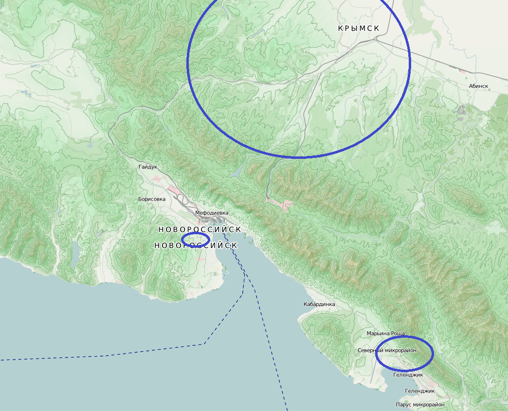
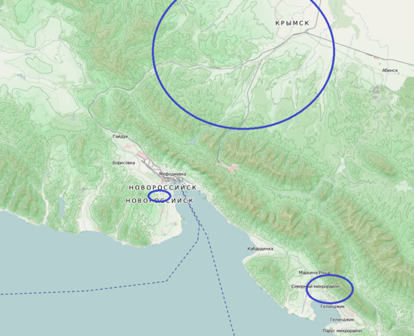
Русский: Территория Краснодарского коая, пострадавшая в результате наводнения 6-7 июля 2012 года. Синим контуром обозначена территория, где зафиксированы жертвы наводнения |
| Date | |
| Source | Карта OpenStreetMap, Район жертв, РИА Новости |
| Author | OpenStreetMap, Sasha Krotov |
| Permission (Reusing this file) |
This file is licensed under the Creative Commons Attribution-Share Alike 2.0 Generic license.
|
File history
Click on a date/time to view the file as it appeared at that time.
| Date/Time | Thumbnail | Dimensions | User | Comment | |
|---|---|---|---|---|---|
| current | 20:52, 7 July 2012 | | 1,044 × 846 (1.13 MB) | Sasha Krotov | {{Information |Description={{ru|Территория Краснодарского края, пострадавшая в результате наводнения 6 июля 2012 года. Синим контуром обозначена террито... |
File usage
The following page uses this file:
Global file usage
The following other wikis use this file:
- Usage on de.wikipedia.org
- Usage on en.wikipedia.org
- Usage on fr.wikipedia.org
- Usage on ms.wikipedia.org
- Usage on nds.wikipedia.org
- Usage on nl.wikipedia.org
- Usage on pl.wikipedia.org
- Usage on ru.wikipedia.org
- Usage on vi.wikipedia.org
- Usage on www.wikidata.org