
File:Karta över Venedig på 1920-talet (ur Nordisk familjebok).jpg

Size of this preview: 800 × 497 pixels. Other resolutions: 320 × 199 pixels | 640 × 397 pixels | 1,024 × 636 pixels | 1,280 × 795 pixels | 2,560 × 1,589 pixels | 4,104 × 2,548 pixels.
Original file (4,104 × 2,548 pixels, file size: 6.6 MB, MIME type: image/jpeg)
.jpg)
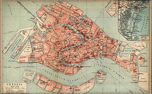
Svenska: Karta över Venedig på 1920-talet
English: Map of Venezia at the 1920s
- Source: Nordisk familjebok
This image was first published in the 1st (1876–1899), 2nd (1904–1926) or 3rd (1923–1937) edition of Nordisk familjebok. The copyrights for that book have expired and this image is in the public domain, because images had no named authors and the book was published more than 70 years ago.
|
This image (or other media file) is in the public domain because its copyright has expired and its author is anonymous.
This applies to the European Union and those countries with a copyright term of 70 years after the work was made available to the public and the author never disclosed their identity. Important: Always mention where the image comes from, as far as possible, and make sure the author never claimed authorship. |
 | |
 |
Note: In Germany and possibly other countries, certain anonymous works published before July 1, 1995 are copyrighted until 70 years after the death of the author. See Übergangsrecht. Please use this template only if the author never claimed authorship or their authorship never became public in any other way. If the work is anonymous or pseudonymous (e.g., published only under a corporate or organization's name), use this template for images published more than 70 years ago.
For a work made available to the public in the United Kingdom, please use Template:PD-UK-unknown instead.
|
| Open this image as an overlay in Google Earth (Google Maps, Bing) | (Help|Source) |
.jpg/overlay.kml)
File history
Click on a date/time to view the file as it appeared at that time.
| Date/Time | Thumbnail | Dimensions | User | Comment | |
|---|---|---|---|---|---|
| current | 22:16, 26 April 2005 | | 4,104 × 2,548 (6.6 MB) | Den fjättrade ankan~commonswiki | *{{Svenska}} Karta över Venedig på 1920-talet *{{English}} Map of Venezia at the 1920s *Source: Nordisk familjebok {{PD-Ugglan}} Category:20th century maps Category:Venezia |
File usage
The following page uses this file:
Global file usage
The following other wikis use this file:
- Usage on de.wikipedia.org
- Usage on he.wikipedia.org
- Usage on no.wikipedia.org
- Usage on sv.wikipedia.org
.jpg)