
File:Ile-de-France region relief location map.jpg

Size of this preview: 742 × 600 pixels. Other resolutions: 297 × 240 pixels | 594 × 480 pixels | 951 × 768 pixels | 1,267 × 1,024 pixels | 1,651 × 1,334 pixels.
Original file (1,651 × 1,334 pixels, file size: 552 KB, MIME type: image/jpeg)
Summary
| Camera location | | View this and other nearby images on: OpenStreetMap |
|---|
| Description |
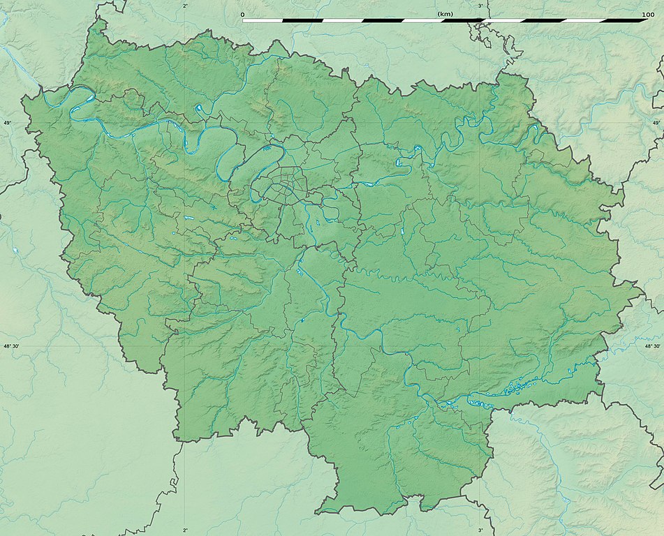
English: Blank physical map of the region of Île-de-France, France, as in January 2015, for geo-location purpose, with distinct boundaries for regions, departments and arrondissements.
Français : Carte physique vierge de la région Île-de-France, France, telle qu'en janvier 2015, destinée à la géolocalisation, avec limite distincte des régions, départements et arrondissements. Scale:
Equirectangular projection, WGS84 datum
Geographic limits of the map:
|
||
| Date | |||
| Source |
Own work
|
||
| Author | Eric Gaba (Sting - fr:Sting) | ||
| Permission (Reusing this file) |
|
||
| Other versions |
|

Licensing
Eric Gaba, Wikimedia Commons user Sting, the copyright holder of this work, hereby publishes it under the following license:
This file is licensed under the Creative Commons Attribution-Share Alike 3.0 Unported license.
Attribution: Eric Gaba, Wikimedia Commons user Sting
- You are free:
- to share – to copy, distribute and transmit the work
- to remix – to adapt the work
- Under the following conditions:
- attribution – You must give appropriate credit, provide a link to the license, and indicate if changes were made. You may do so in any reasonable manner, but not in any way that suggests the licensor endorses you or your use.
- share alike – If you remix, transform, or build upon the material, you must distribute your contributions under the same or compatible license as the original.
File history
Click on a date/time to view the file as it appeared at that time.
| Date/Time | Thumbnail | Dimensions | User | Comment | |
|---|---|---|---|---|---|
| current | 15:32, 12 February 2015 | | 1,651 × 1,334 (552 KB) | Sting | Color profile |
| 15:21, 12 February 2015 |  | 1,651 × 1,334 (537 KB) | Sting | Boundaries correction | |
| 16:26, 22 January 2015 |  | 1,651 × 1,334 (605 KB) | Sting | Boundaries correction | |
| 13:57, 21 January 2015 |  | 1,651 × 1,334 (598 KB) | Sting | == {{int:filedesc}} == {{Location|48|40|30|N|02|30|00|E|scale:1000000}} {{Information |Description={{en|Blank physical map of the region of Île-de-France, France, as in January 2015, for geo-location purpose, with distinct bound... |
File usage
There are no pages that use this file.
Global file usage
The following other wikis use this file:
- Usage on als.wikipedia.org
- Usage on ast.wikipedia.org
- Usage on ban.wikipedia.org
- Usage on bg.wikipedia.org
- Париж
- Версай
- Курбьовоа
- Ньой сюр Сен
- Сюрен
- Булон Биянкур
- Со
- Аниер сюр Сен
- Бобини
- Мол (Франция)
- Самоа сюр Сен
- Аржантьой
- Фонтенбло
- Епине сюр Сен
- Вил д'Авре
- Сен Жермен ан Ле
- Сен Дени
- Иври сюр Сен
- Екол политекник
- Вилжуиф
- Монтрьой
- Нантер
- Кретей
- Олне су Боа
- Витри сюр Сен
- Коломб
- Шампини сюр Марн
- Рюей Малмезон
- Сен Мор де Фосе
- Шаблон:ПК Франция Ил дьо Франс
- Жоанвил льо Пон
- Монфермей
- Есман
- Етамп
- Удан
- Мелюн
- Аверн
- Барбизон
- Обержанвил
- Епон
- Монтро Фот Йон
- Маси
- Монжерон
- Сен Морис (Ил дьо Франс)
- Армантиер ан Бри
- Мо
View more global usage of this file.