
File:Exterior of Santi Giovanni e Paolo (Venice) from Campo San Zanipolo.jpg

Size of this preview: 800 × 591 pixels. Other resolutions: 320 × 236 pixels | 640 × 472 pixels | 1,024 × 756 pixels | 1,280 × 945 pixels | 2,560 × 1,890 pixels | 5,939 × 4,384 pixels.
Original file (5,939 × 4,384 pixels, file size: 14.47 MB, MIME type: image/jpeg)
Summary
|
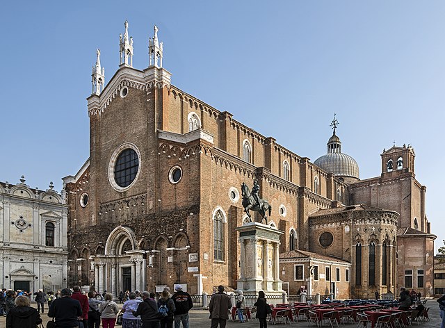
Exterior of Santi Giovanni e Paolo (Venice) and monument to Colleoni | ||||||||||||||||||||||||||||||||||||||||
|
| ||||||||||||||||||||||||||||||||||||||||

.jpg)
_from_Campo_San_Zanipolo.jpg)
_from_Campo_San_Zanipolo.jpg)
_from_Campo_San_Zanipolo.jpg¶ms=045.439428_N_0012.341364_E_globe:Earth_type:camera_region:it_&language=en)
File history
Click on a date/time to view the file as it appeared at that time.
| Date/Time | Thumbnail | Dimensions | User | Comment | |
|---|---|---|---|---|---|
| current | 07:11, 20 November 2016 | | 5,939 × 4,384 (14.47 MB) | Archaeodontosaurus | {{Information |Description ={{en|1=c}} |Source ={{own}} |Author =Archaeodontosaurus |Date = |Permission = |other_versions = }} |
File usage
There are no pages that use this file.
Global file usage
The following other wikis use this file:
- Usage on be.wikipedia.org
- Usage on ca.wikipedia.org
- Usage on cs.wikipedia.org
- Usage on da.wikipedia.org
- Usage on de.wikipedia.org
- Usage on de.wikivoyage.org
- Usage on el.wikivoyage.org
- Usage on eml.wikipedia.org
- Usage on en.wikipedia.org
- Usage on en.wikivoyage.org
- Usage on eo.wikipedia.org
- Usage on eo.wikivoyage.org
- Usage on es.wikipedia.org
- Usage on fr.wikipedia.org
- Usage on fr.wikivoyage.org
- Usage on it.wikipedia.org
- Usage on it.wikivoyage.org
- Usage on ja.wikipedia.org
- Usage on ko.wikipedia.org
View more global usage of this file.
_from_Campo_San_Zanipolo.jpg)
_from_Campo_San_Zanipolo.jpg)