
File:CartagoMapa.png

Size of this preview: 800 × 589 pixels. Other resolutions: 320 × 235 pixels | 640 × 471 pixels | 1,024 × 754 pixels | 1,280 × 942 pixels | 1,715 × 1,262 pixels.
Original file (1,715 × 1,262 pixels, file size: 181 KB, MIME type: image/png)
| Description |
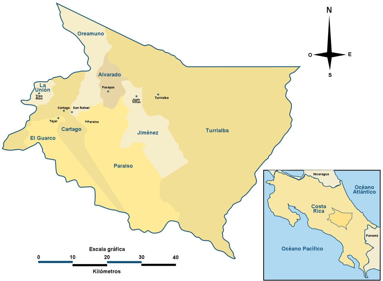
Italiano: Mapa de la provincia de Cartago, Costa Rica Provincia Nederlands: Kaart van de provincie Cartago, Costa Rica Español: Cartago (provincia) Català: Província de Cartago |
| Source | Own work |
| Author | self |
| I, the copyright holder of this work, release this work into the public domain. This applies worldwide. In some countries this may not be legally possible; if so: I grant anyone the right to use this work for any purpose, without any conditions, unless such conditions are required by law. |
File history
Click on a date/time to view the file as it appeared at that time.
| Date/Time | Thumbnail | Dimensions | User | Comment | |
|---|---|---|---|---|---|
| current | 03:56, 5 July 2006 | | 1,715 × 1,262 (181 KB) | Ronemimat | Mapa de la provincia de Cartago, Costa Rica |
File usage
There are no pages that use this file.
Global file usage
The following other wikis use this file:
- Usage on avk.wikipedia.org
- Usage on ca.wikipedia.org
- Usage on de.wikipedia.org
- Usage on hy.wikipedia.org
- Usage on it.wikipedia.org
- Usage on ja.wikipedia.org
- Usage on lt.wikipedia.org
- Usage on nl.wikipedia.org
- Usage on pt.wikipedia.org
- Usage on qu.wikipedia.org
- Usage on ru.wikipedia.org
- Usage on simple.wikipedia.org
- Usage on uk.wikipedia.org
- Usage on war.wikipedia.org
- Usage on www.wikidata.org