
File:CRI orthographic.svg

Size of this PNG preview of this SVG file: 550 × 550 pixels. Other resolutions: 240 × 240 pixels | 480 × 480 pixels | 768 × 768 pixels | 1,024 × 1,024 pixels | 2,048 × 2,048 pixels.
Original file (SVG file, nominally 550 × 550 pixels, file size: 984 KB)
Summary
| Description |
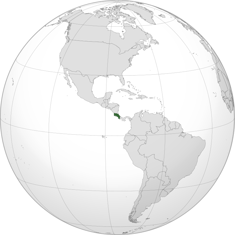
English: Orthographic map of Costa Rica centered at 9° N, 84° W.
Official territory.
Claimed territories. Español: Mapa ortogonal de Costa Rica, centrada en 9° N, 84° W.
Territorio oficial.
Territorios reclamados. |
| Date | |
| Source |
Own work with Natural Earth Data This W3C-unspecified vector image was created with Inkscape . |
| Author | Addicted04 |
Licensing
I, the copyright holder of this work, hereby publish it under the following license:
This file is licensed under the Creative Commons Attribution-Share Alike 3.0 Unported license.
- You are free:
- to share – to copy, distribute and transmit the work
- to remix – to adapt the work
- Under the following conditions:
- attribution – You must give appropriate credit, provide a link to the license, and indicate if changes were made. You may do so in any reasonable manner, but not in any way that suggests the licensor endorses you or your use.
- share alike – If you remix, transform, or build upon the material, you must distribute your contributions under the same or compatible license as the original.
File history
Click on a date/time to view the file as it appeared at that time.
| Date/Time | Thumbnail | Dimensions | User | Comment | |
|---|---|---|---|---|---|
| current | 19:42, 12 July 2012 | | 550 × 550 (984 KB) | Addicted04 | fixing |
| 19:40, 12 July 2012 |  | 550 × 550 (908 KB) | Addicted04 |
File usage
The following 3 pages use this file:
Global file usage
The following other wikis use this file:
- Usage on avk.wikipedia.org
- Usage on cdo.wikipedia.org
- Usage on ceb.wikipedia.org
- Usage on ckb.wikipedia.org
- Usage on en.wikipedia.org
- Usage on es.wikipedia.org
- Usage on fi.wikipedia.org
- Usage on fr.wikipedia.org
- Usage on gcr.wikipedia.org
- Usage on gu.wikipedia.org
- Usage on hak.wikipedia.org
- Usage on he.wikipedia.org
- Usage on ie.wikipedia.org
- Usage on is.wikipedia.org
- Usage on jam.wikipedia.org
- Usage on ko.wikipedia.org
- Usage on lad.wikipedia.org
- Usage on lfn.wikipedia.org
- Usage on lo.wikipedia.org
- Usage on mn.wikipedia.org
- Usage on mt.wikipedia.org
- Usage on mwl.wikipedia.org
- Usage on my.wikipedia.org
- Usage on oc.wikipedia.org
- Usage on pcd.wikipedia.org
- Usage on pl.wikipedia.org
- Usage on pl.wiktionary.org
- Usage on pt.wikipedia.org
- Usage on ro.wikipedia.org
- Usage on sat.wikipedia.org
- Usage on sc.wikipedia.org
- Usage on sd.wikipedia.org
- Usage on simple.wikipedia.org
- Usage on sl.wikipedia.org
- Usage on tay.wikipedia.org
- Usage on th.wikipedia.org
- Usage on tl.wikipedia.org
- Usage on tr.wikipedia.org
- Usage on uk.wikipedia.org
- Usage on vi.wikivoyage.org
- Usage on zh-min-nan.wikipedia.org