
File:Andhra Pradesh districts map.svg

Size of this PNG preview of this SVG file: 643 × 599 pixels. Other resolutions: 258 × 240 pixels | 515 × 480 pixels | 824 × 768 pixels | 1,099 × 1,024 pixels | 2,198 × 2,048 pixels | 2,716 × 2,531 pixels.
Original file (SVG file, nominally 2,716 × 2,531 pixels, file size: 325 KB)
Summary
| Description |
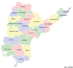
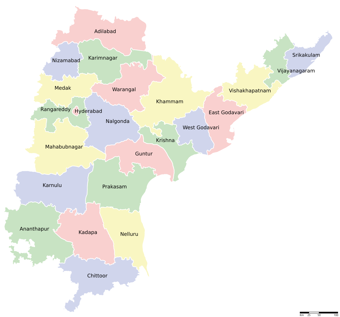
English: This map is derived from the original map Image:Andhra Pradesh locator map.svg
generated by en:User:PlaneMad |
| Date | |
| Source | Own work |
| Author | C.Dev |
Licensing
I, the copyright holder of this work, hereby publish it under the following licenses:
This file is licensed under the Creative Commons Attribution-Share Alike 3.0 Unported license.
- You are free:
- to share – to copy, distribute and transmit the work
- to remix – to adapt the work
- Under the following conditions:
- attribution – You must give appropriate credit, provide a link to the license, and indicate if changes were made. You may do so in any reasonable manner, but not in any way that suggests the licensor endorses you or your use.
- share alike – If you remix, transform, or build upon the material, you must distribute your contributions under the same or compatible license as the original.

|
Permission is granted to copy, distribute and/or modify this document under the terms of the GNU Free Documentation License, Version 1.2 or any later version published by the Free Software Foundation; with no Invariant Sections, no Front-Cover Texts, and no Back-Cover Texts. A copy of the license is included in the section entitled GNU Free Documentation License. |
You may select the license of your choice.
File history
Click on a date/time to view the file as it appeared at that time.
| Date/Time | Thumbnail | Dimensions | User | Comment | |
|---|---|---|---|---|---|
| current | 13:20, 14 September 2008 | | 2,716 × 2,531 (325 KB) | C.Dev | {{Information |Description= |Source= |Date= |Author= |Permission= |other_versions= }} |
| 13:12, 14 September 2008 |  | 2,716 × 2,531 (326 KB) | C.Dev | {{Information |Description={{en|1=This map is derived from the original map Image:Andhra Pradesh locator map.svg generated by en:User:PlaneMad}} |Source=Own work by uploader |Author=C.Dev |Date= |Permission= |other_versions= }} <!--{{I |
File usage
The following page uses this file:
Global file usage
The following other wikis use this file:
- Usage on en.wikipedia.org
- Usage on hi.wikipedia.org
- Usage on kk.wikipedia.org
- Usage on kn.wikipedia.org
- Usage on ru.wikipedia.org
- Usage on sa.wikipedia.org
- Usage on te.wikipedia.org
- Usage on tg.wikipedia.org
- Usage on ur.wikipedia.org